

You're now following
Error following user.
This user does not allow users to follow them.
You are already following this user.
Your membership plan only allows 0 follows. Upgrade here.
Successfully unfollowed
Error unfollowing user.
You have successfully recommended
Error recommending user.
Something went wrong. Please refresh the page and try again.
Email successfully verified.

jeddah, saudi arabia
It's currently 3:52 PM here
Joined February 6, 2020
0 Recommendations
Muhammad F.
@Fayazfree
0.0
0.0
0%
0%
jeddah, saudi arabia
N/A
Jobs Completed
N/A
On Budget
N/A
On Time
N/A
Repeat Hire Rate
GIS Developer/Analyst
Contact Muhammad F. about your job
Log in to discuss any details over chat.
Portfolio
Portfolio
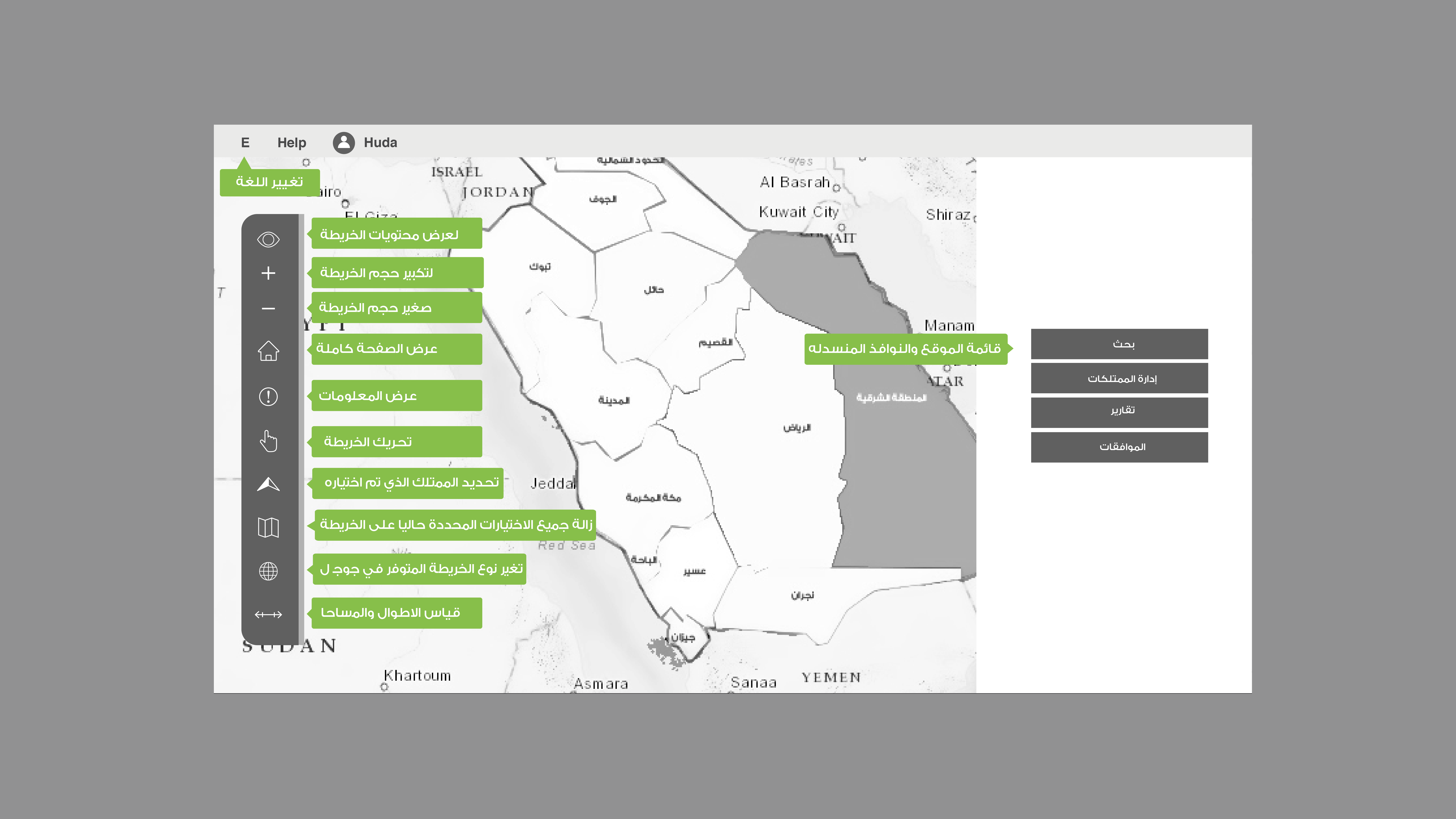

PIMS (Property Information Management System)

PIMS (Property Information Management System)

PIMS (Property Information Management System)
PIMS (Property Information Management System)
PIMS (Property Information Management System)
PIMS (Property Information Management System)
Reviews
Changes saved
No reviews to see here!
Education
MIT
(2 years)
BA Geography
(2 years)
Contact Muhammad F. about your job
Log in to discuss any details over chat.
Verifications
Browse Similar Showcases
Invite sent successfully!
Thanks! We’ve emailed you a link to claim your free credit.
Something went wrong while sending your email. Please try again.
Copy to clipboard failed, please try again after adjusting your permissions.
Copied to clipboard.
Loading preview
Permission granted for Geolocation.
Your login session has expired and you have been logged out. Please log in again.