

You're now following
Error following user.
This user does not allow users to follow them.
You are already following this user.
Your membership plan only allows 0 follows. Upgrade here.
Successfully unfollowed
Error unfollowing user.
You have successfully recommended
Error recommending user.
Something went wrong. Please refresh the page and try again.
Email successfully verified.

hanoi, vietnam
It's currently 4:42 PM here
Joined April 25, 2013
1 Recommendation
Lan L.
@LeThiLan
3.8
3.8
100%
100%
hanoi, vietnam
100%
Jobs Completed
100%
On Budget
100%
On Time
67%
Repeat Hire Rate
Powerpoint, Flowchart/Diagram, Word, PDF, Graphic design
Contact Lan L. about your job
Log in to discuss any details over chat.
Portfolio
Portfolio
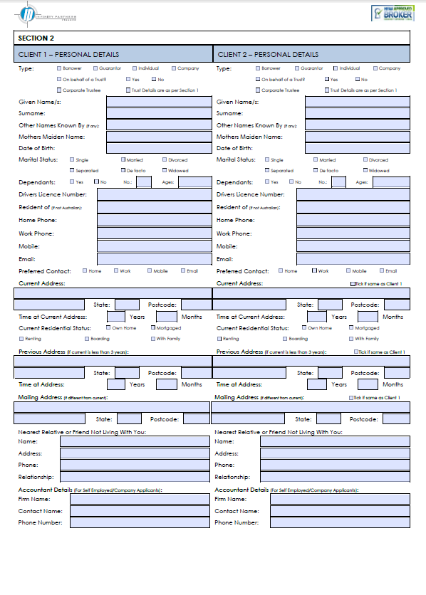

PDF Form

PDF Form


Design Powerpoint Presentation

Design Powerpoint Presentation

Design Powerpoint Presentation

Design Powerpoint Presentation

Design Powerpoint Presentation


Report layout

Report layout

Report layout

Report layout

Report layout

Report layout

Report layout

Report layout


chart/graph

chart/graph

chart/graph

chart/graph

chart/graph

chart/graph

chart/graph

chart/graph

chart/graph

chart/graph


Workflow chart

Workflow chart

Workflow chart

Workflow chart
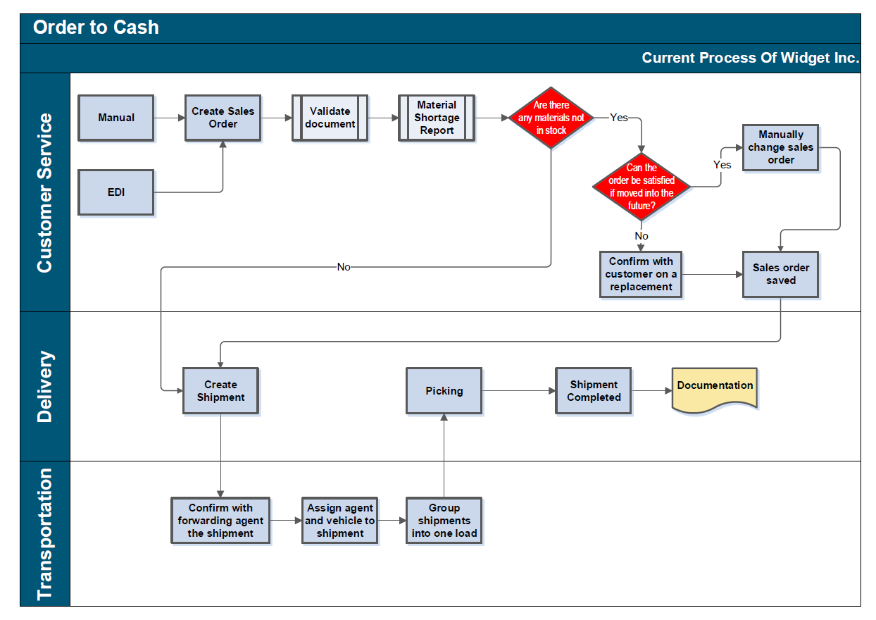

Flowchart, Process map, diagram
PDF Form
PDF Form
Design Powerpoint Presentation
Design Powerpoint Presentation
Design Powerpoint Presentation
Design Powerpoint Presentation
Design Powerpoint Presentation
Report layout
Report layout
Report layout
Report layout
Report layout
Report layout
Report layout
Report layout
chart/graph
chart/graph
chart/graph
chart/graph
chart/graph
chart/graph
chart/graph
chart/graph
chart/graph
chart/graph
Workflow chart
Workflow chart
Workflow chart
Workflow chart
Flowchart, Process map, diagram
Reviews
Changes saved
Showing 1 - 5 out of 7 reviews
$60.00 USD
Graphic Design
Illustrator
Flow Charts
Design
+1 more

•
$13.00 USD
Graphic Design
Illustrator
Flow Charts
Design
+1 more
U
•
$60.00 USD
PDF
Electronic Forms
U
•
$118.00 CAD
Banner Design
Project Management
Business Plans
eBooks
Business Analysis

•
$10.00 USD
Business Analysis
AutoCAD
Odd Jobs
Flow Charts
+1 more
•
Experience
Project Experiences
Oct 2009 - Present
Project Experience:
2010 - Present: ADB PATA 7611-VIE Preparation of Expressway GIS and website
ADB technical assistance to the Vietnam Expressway Management Office under the Ministry of Transport. As GIS / Mapping specialist supported the international specialist; Collected and managed in a GIS all data relevant to the national expressway development program including a) expressway network, b) national highway network, c) toll gates, traffic count data, traffic video, planned widening sections, expre
GIS / Mapping Specialist
Oct 2009 - Present
Bizdev Asia is a Japanese company with an office in Hanoi, providing consulting services for transport sector projects, and carrying out outsourcing work for preparation of technical proposals for international firms of engineering consultants wishing to win ODA projects. The company is headed by a British transport specialist who manages a team of staff carrying out procurement, institutional strengthening, and proposal preparation services.
Responsible for:
(i) Obtaining satellite imagery, topographic
Technical Staff
Aug 2007 - Oct 2009 (2 years, 2 months)
Working as an Technical Staff carried out:
(i) Processing satellite and aerial photo images
(ii) Creating and updating topographic and ortho-photo maps
(iii) Creating DTM, contour lines.
(iv) Digitizing and editing map & data
Work is carried out principally in a Microstation environment, together with use of specialist software for image processing, coordinate transformation, GIS work, bulk processing of mapping tasks.
Responsible for managing selected projects, including outsourced mapping work f
Education
Master degree, Remote Sensing and Geography Information System (2008-2011) (on going)
(3 years)
Bachelor of Science
(4 years)
Qualifications
Procurement
Vietnam Institue for building Sciences and Technology
2012
Publications
Arcgis, Map, Google earth, Acrobat, PDF, Word
null
null
Contact Lan L. about your job
Log in to discuss any details over chat.
Verifications
Certifications
Top Skills
Browse Similar Freelancers
Browse Similar Showcases
Invite sent successfully!
Thanks! We’ve emailed you a link to claim your free credit.
Something went wrong while sending your email. Please try again.
Copy to clipboard failed, please try again after adjusting your permissions.
Copied to clipboard.
Loading preview
Permission granted for Geolocation.
Your login session has expired and you have been logged out. Please log in again.