You're now following
Error following user.
This user does not allow users to follow them.
You are already following this user.
Your membership plan only allows 0 follows. Upgrade here.
Successfully unfollowed
Error unfollowing user.
You have successfully recommended
Error recommending user.
Something went wrong. Please refresh the page and try again.
Email successfully verified.


harbour view, jamaica
It's currently 3:54 AM here
Joined July 8, 2012
0 Recommendations
Floyd D.
@Floyddowner
0.0
0.0
0%
0%

harbour view, jamaica
N/A
Jobs Completed
N/A
On Budget
N/A
On Time
N/A
Repeat Hire Rate
Willing and ready to work
Contact Floyd D. about your job
Log in to discuss any details over chat.
Portfolio
Portfolio


Logo


Logo


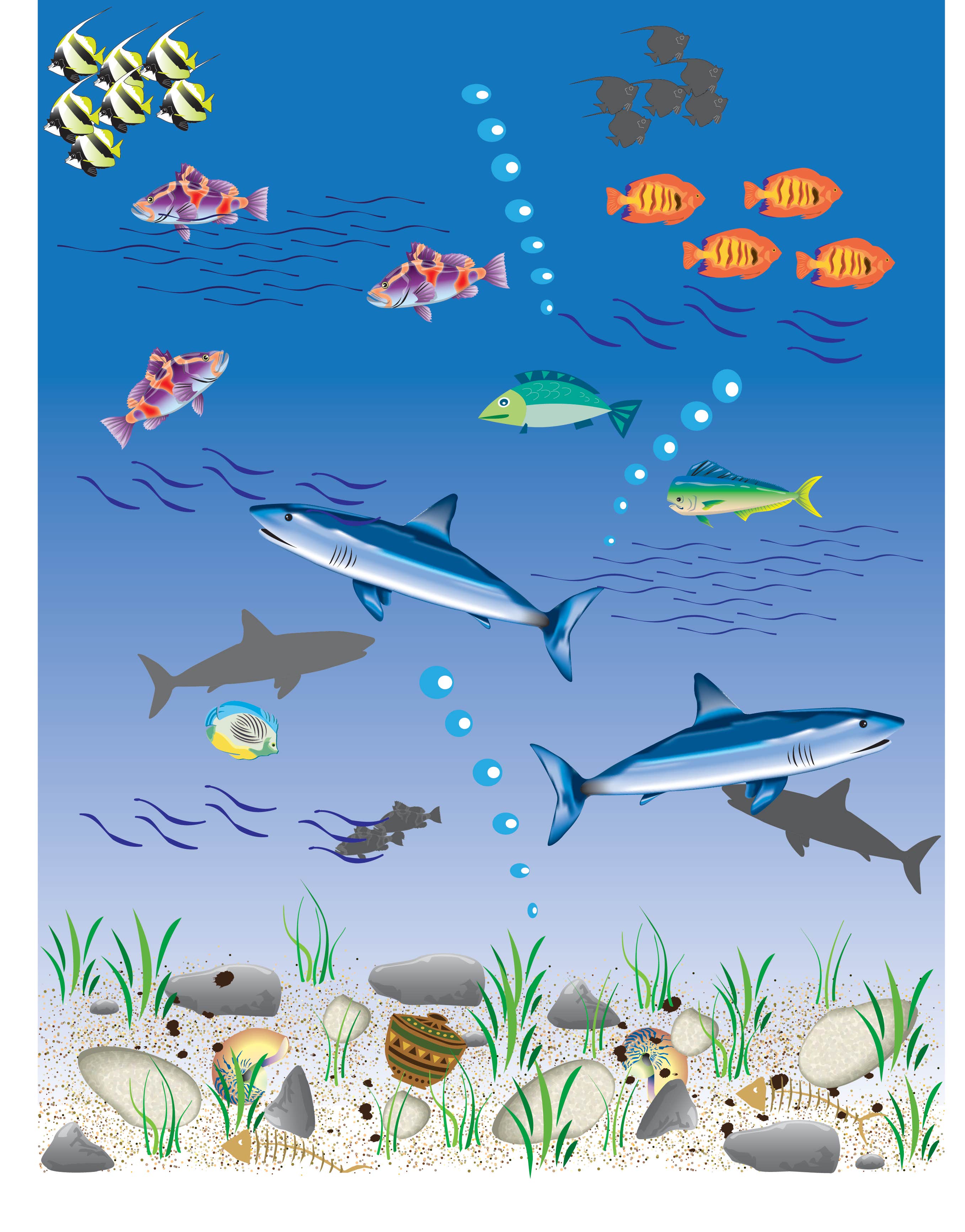
Deep Blue Sea


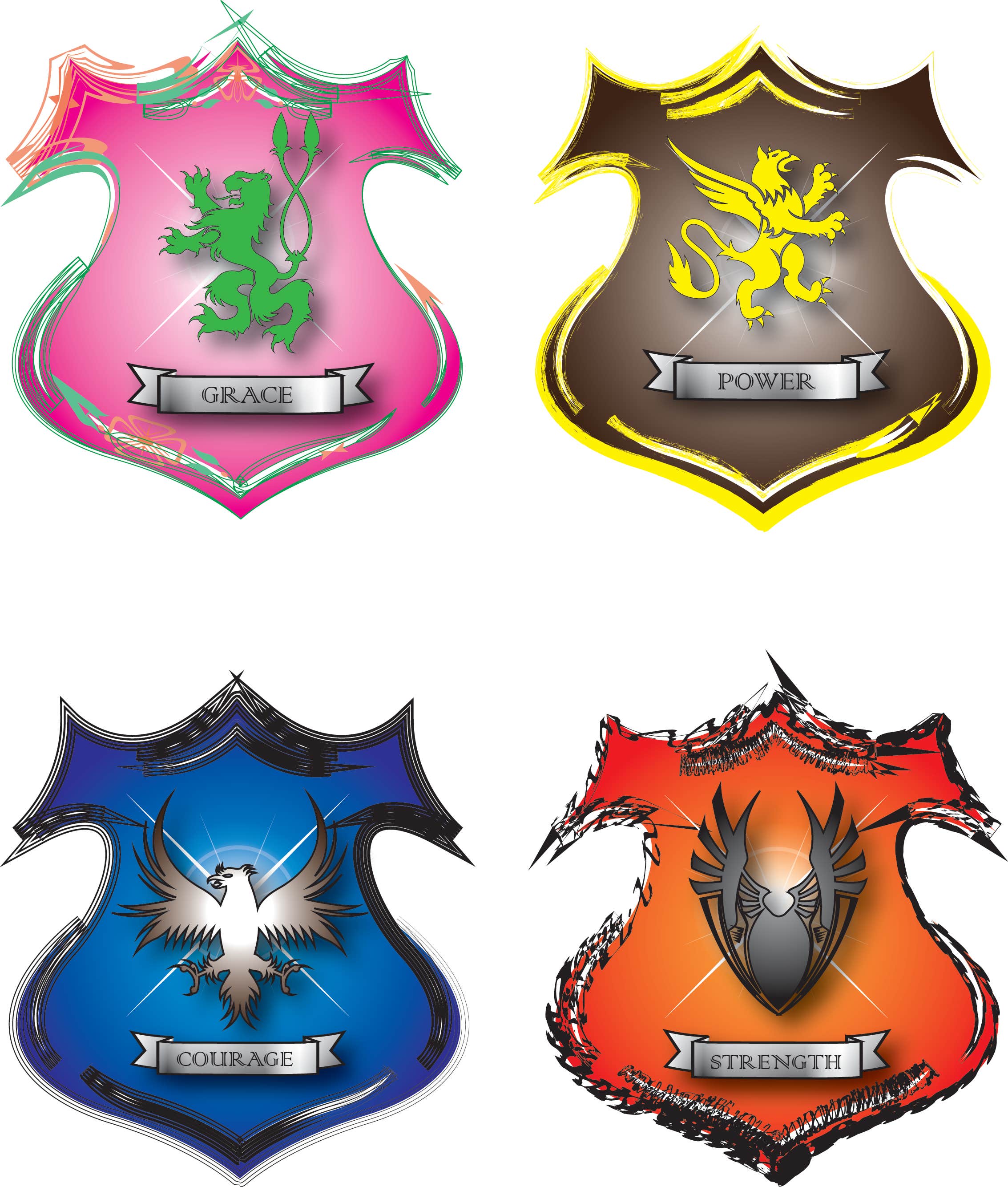
Badges
Power Point presentation


Logo


Logo


Deep Blue Sea


Badges
Power Point presentation
Reviews
Changes saved
No reviews to see here!
Experience
Photogrammetrist
Apr 2009 - Present
1. Conduct feature extraction from photos using the ERDAS IMAGINE software.
2. Produce digital copies of photographs at the request of customers.
3. Locate and file photographs.
4. Create DTMs using both the ERDAS IMAGINE and TERRAMODEL software.
5. Create topographic maps using the B8 stereoscopic instrument
Land Use Survey Technician/Data Entry Clerk
Oct 2008 - Mar 2009 (5 months, 1 day)
1. Obtain information regarding land usage by parcel in selected growth areas of Jamaica.
2. Served as a team leader while conducting the Land Use Survey for St. James.
3. Enter data regarding land usage in to a geo database, using ARC Gis
GIS Technician
Jul 2008 - Aug 2008 (1 month, 1 day)
1. Georefference maps to the Jamaica Grid System.
2. Digitize maps using ArcGIS software.
3. Create location maps to aid in field activities.
4. Enter geographic information into a geo database.
5. Participated in field exercises.
Education
Management Studies (Degree)
(1 year)
Land Surveying (Certificate)
(2 years)
Qualifications
Land Survey Technician
University of Technology, Jamaica
2008
This is a certification that allows me to work as a surveying assistant, and also qualifies me to conduct GPS, GIS and Cartographic tasks.
Contact Floyd D. about your job
Log in to discuss any details over chat.
Verifications
Top Skills
Browse Similar Freelancers
Browse Similar Showcases
Invite sent successfully!
Thanks! We’ve emailed you a link to claim your free credit.
Something went wrong while sending your email. Please try again.
Loading preview
Permission granted for Geolocation.
Your login session has expired and you have been logged out. Please log in again.